


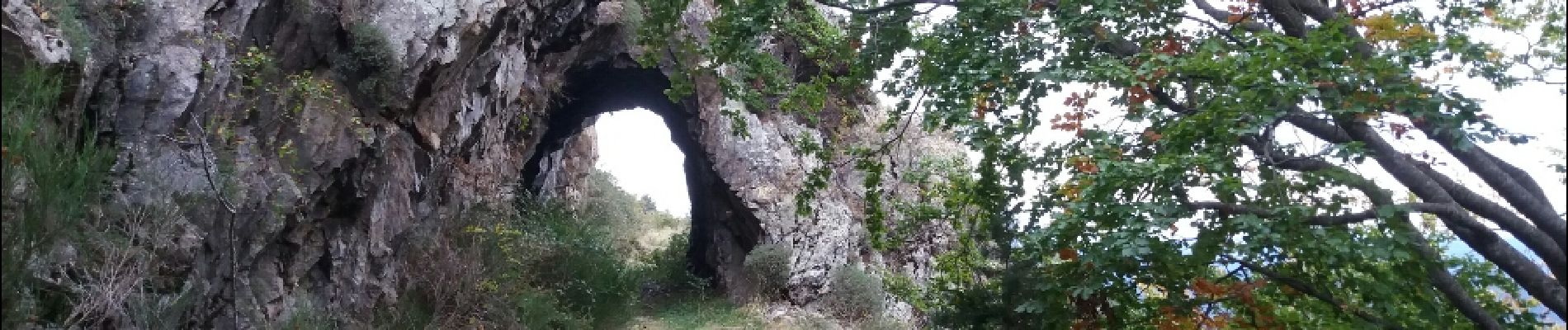
col de palomere . tour de batere . retour via le chemin de fer

stef789
Gebruiker GUIDE
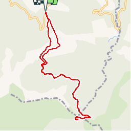

Lengte
10,9 km

Max. hoogte
1431 m

Positief hoogteverschil
501 m
Km-Effort
17,6 km

Min. hoogte
1033 m

Negatief hoogteverschil
502 m
Boucle
Ja
Datum van aanmaak :
2019-01-15 18:08:13.512
Laatste wijziging :
2019-01-15 18:08:13.512
3h10
Moeilijkheid : Gemakkelijk

Gratisgps-wandelapplicatie
 SityTrail
IGN / Geografische instituten
SityTrail Plus
De wereld gaat voor u open
Over ons
Tocht Stappen van 10,9 km beschikbaar op Occitanië, Pyrénées-Orientales, La Bastide. Deze tocht wordt voorgesteld door stef789.
Foto's


Plaatsbepaling
Land:
France
Regio :
Occitanië
Departement/Provincie :
Pyrénées-Orientales
Gemeente :
La Bastide
Locatie:
Unknown
Vertrek:(Dec)
Vertrek:(UTM)
464341 ; 4709309 (31T) N.
Opmerkingen